34
NASA-ISRO set up an Earth observation satellite jointly developed by space agencies in an accurate orbit.
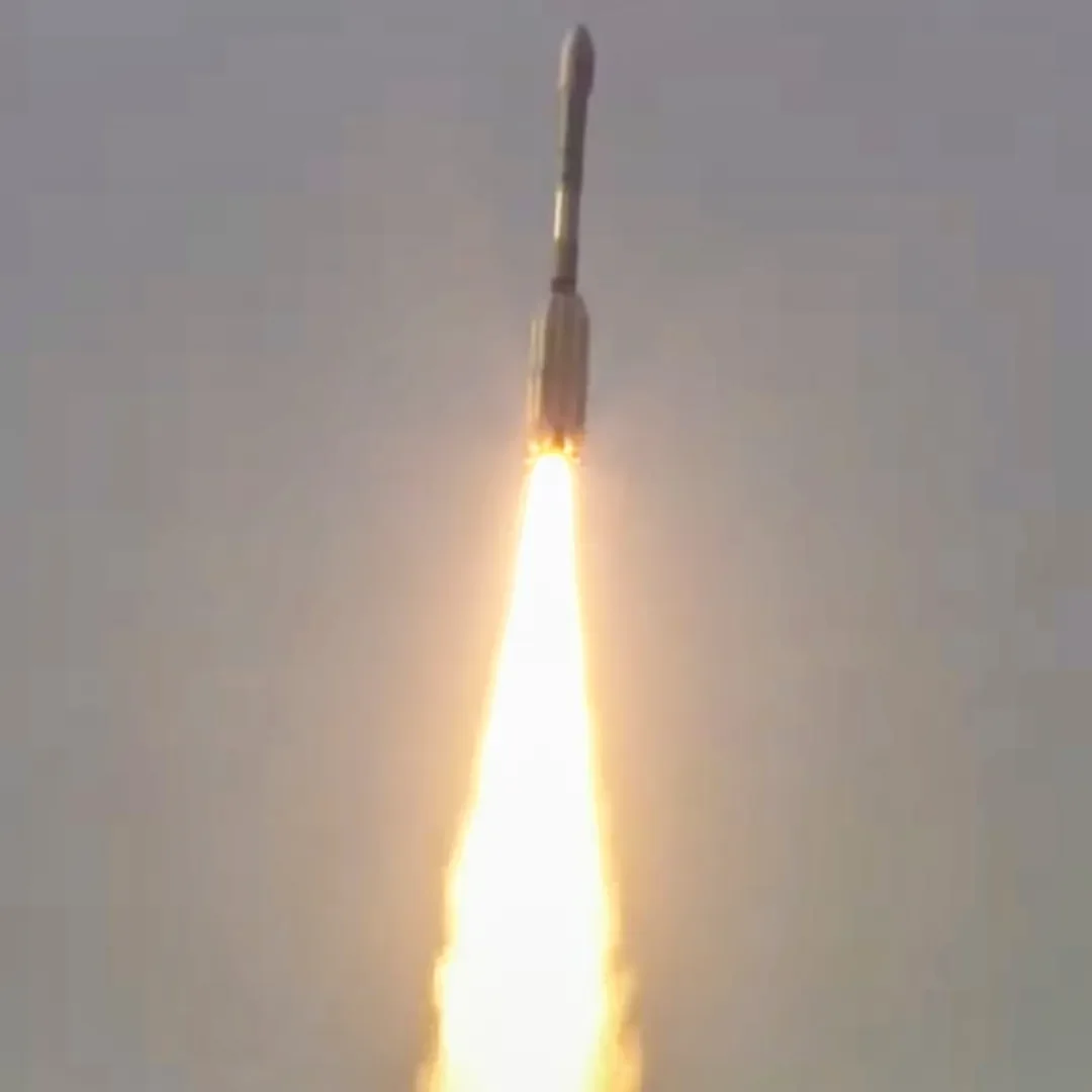
Sriharikota (Andhra Predesh): India and the US on Wednesday marked their first space cooperation with a successful flight of GSLV rockets, which jointly developed an Earth observation satellite in an accurate orbit developed jointly by space agencies. ISRO’s GSLV F-16 launched Nisar (NASA-Israo synthetic aperture radar) satellite in the desired sun synchronous polar orbit (SSPO) after a flight of about 19 minutes and about 745 km. ISRO said that GSLV successfully launched Nisar in the scheduled class. Wednesday’s achievement came after the unsuccessful PSLV-C61/EOS-09 mission of May 18, in which the faulty PSLV of ISRO failed to install the Earth observation satellite in the desired orbit.
Nisar will study the earth
After successfully launching similar satellites- Resourcesat and Recyat series, which was primarily focused on India, ISRO has set out on a trip to the study of the planet Earth through Nisar Mission. After separating from the rocket, scientists will start launching the satellite, which will take several days to install it and fulfill the mission objectives. According to ISRO, S-band radar system, data handling and high-speed downlink system, spacecraft and launch system have been developed by the National Space Agency. L-Band radar system, high-speed downlink system, solid state recorder, GPS receiver, 9 meter boom hoisting and 12 meter reflectors, all are all provided by the US-based National Aeronautical Space Administration (NASA). Apart from this, ISRO is responsible for satellite commanding and operation. NASA will provide the maneuver scheme and radar operation plan in class. The ground station support of both ISRO and NASA will help to download images obtained by Nisar Mission, which will be broadcast to the user community after necessary processing.
Scientists will get help
According to ISRO, the primary objective of Nisar Mission is to study land and ice deformation, land ecosystems and maritime areas in areas of general interest for the US and Indian scientific communities. Mission Woody measuring biomass, tracking the change in the range of active crops, NASA said that data from NISAR mission will provide important information to governments and decisionrs in planning for natural and human-related hazards. NISAR can help in monitoring efforts to monitor the dangers and potentially give decisionrs more time to prepare for a possible disaster.
The most advanced radar system ever
The radar satellite will provide 3D views of the earth’s land and ice and through its ability to see the clouds and light rain day and night, satellite data will enable users to continuously monitor earthquakes and landslides possible areas and determine how fast the glaciers and snow sheets are changing. The data collected from the satellite will also provide an ‘unprecedented coverage’ of Antarctica, a information that will help to study how the continent’s snow sheet changes over time. Significantly, NISAR is the most advanced radar system launched by NASA or ISRO and it will generate more data on a daily basis than any previous Earth satellite launched by them. The NISAR mission will help both space agencies to monitor ecosystems around the world and L bands enter the deepest in the forest umbrellas.


